
Showing posts with label 1:1200. Show all posts
Showing posts with label 1:1200. Show all posts
Friday, May 24, 2013
Christmas 2012
It has been almost a year since I added a post. So high time. Since it is Christmas again - time to add another Christmas Island map. This one is in the Pacific Ocean. The previous one is in the Indian Ocean.


Tuesday, January 31, 2012
The Beginnings of a Terrain Set
There are two sorts of terrain elements shown here along with some models for scale:

On the right some ice floe patches (with an Empire of the Blazing Sun frigate picking its way through) and on the left some basic islands.

The other minis are a Blazing Sun Bomber and some other mini maker's flying Aeronef of a thing ("Industrial Gothic"[?] maybe...) I have a bunch of the minis but I'm clueless as to what the game was or was about.
The islands are just slabs of foam that were too small to become hills for Warhammer Fantasy. They got re-purposed to a different scale. They are about an inch tall and so represent islands that stand about 100 feet out of the sea.

On the right some ice floe patches (with an Empire of the Blazing Sun frigate picking its way through) and on the left some basic islands.
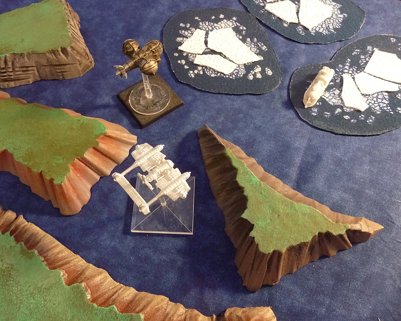
The other minis are a Blazing Sun Bomber and some other mini maker's flying Aeronef of a thing ("Industrial Gothic"[?] maybe...) I have a bunch of the minis but I'm clueless as to what the game was or was about.
The islands are just slabs of foam that were too small to become hills for Warhammer Fantasy. They got re-purposed to a different scale. They are about an inch tall and so represent islands that stand about 100 feet out of the sea.
Saturday, December 31, 2011
Tarawa - New Years Day 2012
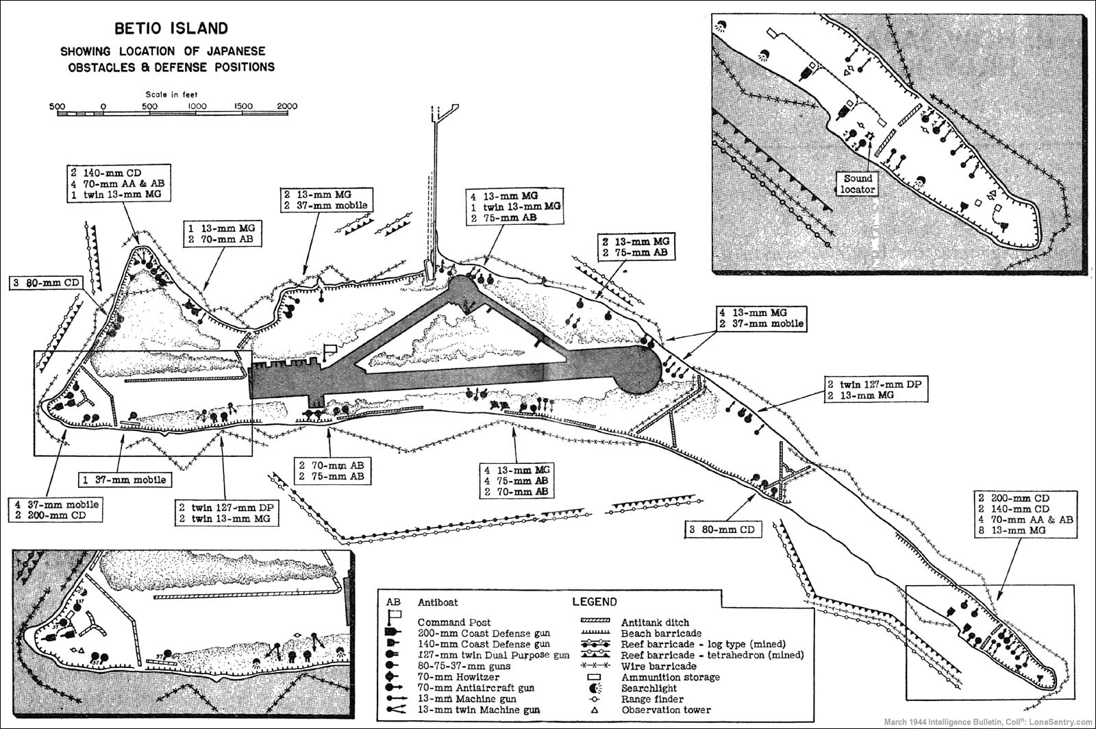
It is New Year's Eve and as a follow up to the Christmas day map of Christmas Island I have done another map for 1:1200 scale wargaming:
 This is Betio. One of the two dozen or so islets that constitute the Atoll known as Tarawa. This version is somewhat based on a map of Tarawa as it was in 1943 when the USMC took it from the Imperial Japanese Army. The airfield, dock, and compass arrow are as faithful to the source map as possible. The various symbols around the edges of the island represent different 1:1200 scale buildings available from Spartan Games. The grid squares are 12x12 inches (or 1200 scale feet square). The sea squares are filled with two different shades of blue to show that two 4x6 foot tables are needed to model the entire island at a scale of 1:1200.

Saturday, December 3, 2011
Deception Island

The various rectangles (red, white, medium blue and also the pale inset area) represent 4x6 ft (48x72 inch) standard gaming tables if the island was modeled at a scale of 1:1200. Note that the whole map is 10x10 tables. Therefore, if the entire map was considered one 4x6 ft table, Deception Island could be modeled on that single table IF the island was modeled at a scale of 1:12000 (that's twelve-thousand) instead of 1:1200.
The triangles mark various summit locations and the tiny red dot in the entrance channel marks a submerged hazard to navigation. The white/royal blue scale bars are (top to bottom) 7200 feet and 2000 meters long.
Subscribe to:
Posts (Atom)